


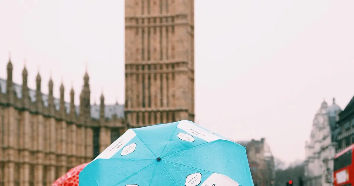
Londoners are getting a brief window of dry weather this morning before the rain sets in for the rest of the day, according to the Met Office.
Forecasters say the capital will stay largely dry through the morning, but the wet weather is expected to arrive from around 11am, with the chance of rain hitting 70 per cent. It will turn heavier through the afternoon, with a 90 per cent likelihood of rain by midday and at least 95 per cent from 1pm for much of the evening.
Temperatures are set to peak at 16C as the rain continues into the evening, in what the Met Office expects to be a mild but thoroughly soggy Saturday.
Hour by hour: when the rain hits
The morning starts dry, with conditions remaining largely settled until late morning. From around 11am the first rain is expected to arrive, and by 3pm showers are forecast across the capital.
The worst of it comes in the afternoon and evening: the likelihood of rain is expected to reach 75 per cent by 4pm and stay at 95 per cent or higher from 1pm into the night. The timing means anyone heading out this morning has a few dry hours to work with — but an umbrella will be essential for the afternoon and evening.
For anyone planning around the figures: a 95 per cent chance of rain is as close to a certainty as forecasts get. If the Met Office says 95 per cent, the only real question is how heavy it gets, not whether it arrives.
Storm Austen’s hangover
The unsettled conditions follow a day of strong winds and heavy rain brought by Storm Austen on Friday, which caused disruption across London’s transport network. Trees were blown onto railway lines in several areas — including the line at Stansted Mountfitchet, where a do-not-travel warning was issued — and flooding caused long delays on the M25.
Follow our Storm Austen live coverage for the full picture of Friday’s disruption, which saw a Met Office yellow wind warning in place across London between 10am and 9pm.
While the storm itself has passed, the weekend is expected to remain unsettled, with further showers forecast on Sunday. Anyone travelling should check before setting off, as lines continue to recover from Friday’s damage and weekend engineering work is affecting services in south London and Bromley.
Half-term plans at risk
The timing is far from ideal for families, with many London schools now on half-term. The soggy Saturday could scupper plans for outdoor outings, though there is plenty still on indoors — see our round-up of what the half-term weekend weather means for your plans.
Museums and galleries across the capital remain free and dry, and cinemas, theatres and indoor attractions offer shelter from the afternoon downpours.
One consolation: it’s mild
At 16C, today will feel warm for late October — several degrees above the seasonal average. The rain arrives on a mild south-westerly flow rather than a cold front, so while it will be wet, it won’t be cold. Evenings remain around 15C.
Still, the advice for a British autumn Saturday stands: leave the house with a coat, check your journey before you travel, and don’t trust the morning sky.
If you’re out this afternoon
Roads will be wet and visibility poor during the heaviest downpours, so drivers should slow down and allow extra braking distance. Cyclists face slippery road markings and drains that can back up in heavy rain — full-length mudguards and decent lights make a real difference.
For public transport users, the combination of wet platforms and continuing recovery work after Friday’s storm means delays are possible, particularly on National Rail routes in south London. TfL’s journey planner and National Rail’s live departure boards are worth a check before you leave.
And if you were hoping for a dry run at the weekend’s outdoor events, the message is simple: go prepared, or pick something under cover.