


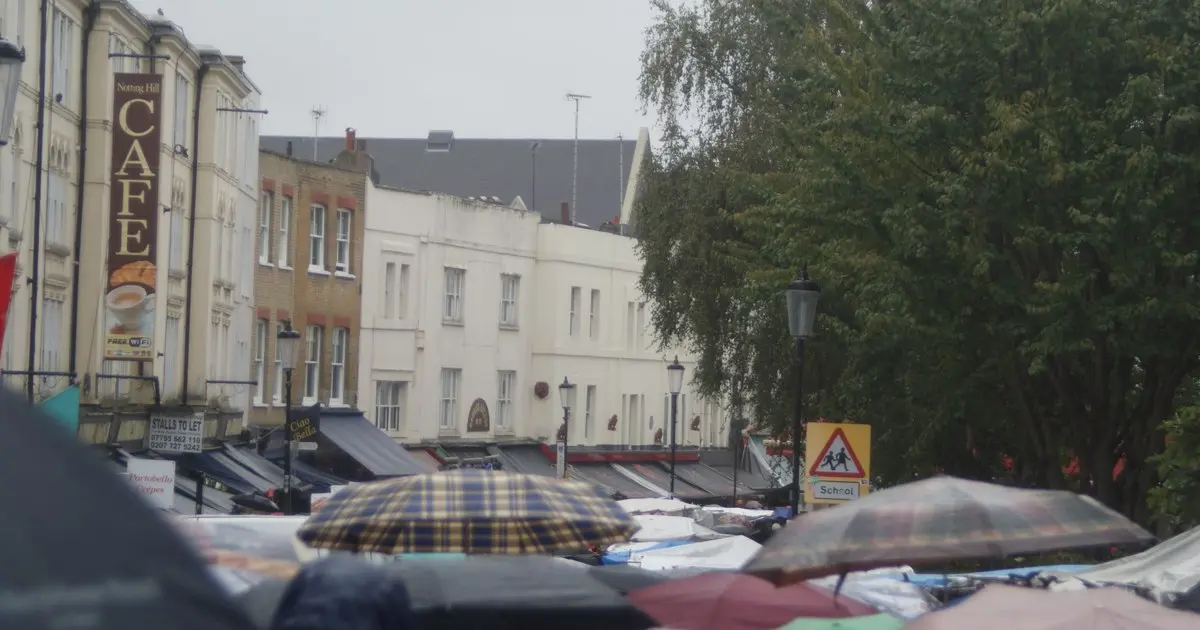
London is in for a soaking Friday as Storm Austen sweeps across the capital, with the Met Office’s hour-by-hour forecast pointing to lunchtime as the worst of it.
The first named storm of the season is dragging bands of heavy rain across the city from the early hours, and by midday the odds of getting drenched are running at 90 per cent or more. The single wettest hour looks set to be 2pm, when forecasters give heavy rain at least a 95 per cent chance, with temperatures sliding to around 11°C.
The morning will already be grim. Light rain is expected from around 6am through to 11am, with a 70 to 80 per cent chance of rain for the whole of the morning commute. Daytime temperatures will peak at about 13°C before the heavier stuff arrives.
From noon the picture darkens quickly. Heavy rain is forecast at 12pm and 1pm with a 90 per cent chance, intensifying further at 2pm and holding on through 3pm, when there is still a 90 per cent chance of heavy rain and the temperature dips to 10°C. The Met Office expects the storm to track eastwards across the UK during the day, with conditions gradually improving behind it.
The good news, such as it is, comes in the evening. By 4pm the rain should have eased to light showers, and from 7pm the skies are forecast to break, leaving partly cloudy conditions with only a 20 per cent chance of rain. By 10pm and 11pm the forecast calls for clear skies and temperatures around 9°C — a cold, calm end to a chaotic day.
Winds are the other half of the story, though Londoners should keep the figures in perspective. The Met Office is warning of gusts of 50mph to 60mph across the wider affected areas of southern England, with speeds topping 70mph possible in the most exposed coastal spots. Those numbers describe the warning area as a whole rather than central London, but it will still feel properly blustery in the capital, especially as the storm moves through.
Rainfall totals are expected to be significant too, with some parts of the country forecast to receive between 20mm and 30mm over the course of the storm — enough to cause localised disruption on roads and at outdoor events.
What it means for Friday plans
The timing is about as awkward as it gets for anyone with plans. The morning commute will be wet, the lunch hour is likely to be the worst of it, and anyone heading out in the early afternoon should expect the heaviest downpours of the day. If you can shift travel or outdoor plans towards the evening, the forecast is considerably kinder after 7pm.
This is already shaping up to be one of the more disruptive Fridays of the autumn for the capital’s transport network. Great Western Railway has curtailed its West Country services back to Plymouth and imposed speed restrictions until early afternoon, with the overnight sleeper also terminating at Plymouth. Drivers should brace for surface water and spray, particularly on the M25, where closures are already in place this weekend.
It is also a day for checking before you set out. Kenwood House and its grounds are closed today because of the forecast winds, and other attractions may follow suit. The Met Office is advising everyone to check the latest forecast and any weather warnings before travelling.
The storm’s arrival caps a week of weather warnings for the capital, and while Friday evening promises a calmer end, forecasters say unsettled conditions could linger into the weekend. Umbrellas, in short, are non-negotiable today — but dinner plans should survive unscathed.