


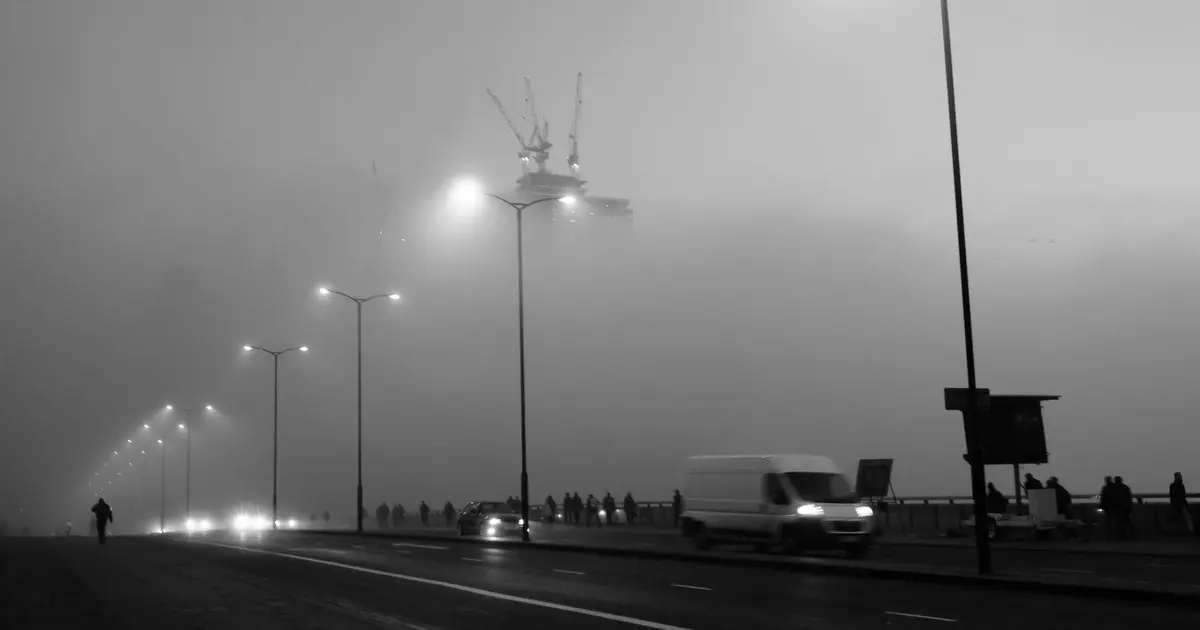
Thick fog is set to descend on London tonight, with warnings of difficult travel conditions and visibility dropping as low as 50 metres.
A yellow weather warning covering the capital is in force from 6pm on Sunday until 11am on Monday.
The Met Office has warned that delays to bus and train services are possible, while flights could also be delayed or cancelled.
Forecasters said the densest fog is expected across the warning area, which covers London and much of the South East and eastern England.
“Perfect recipe” for fog
Niamh Murray, Met Office operational meteorologist, said current weather conditions had created the “perfect recipe” for fog.
She said: “There is still going to be patchy fog elsewhere, just not quite as dense or as impactful. Parts of the West Country could still see fog, Northern Ireland, really anywhere across much of the UK, even into the central belt of Scotland.”
Ms Murray said the longer nights and lower temperatures at this time of year make it easier for fog to develop.
She said: “With autumn and winter and getting fog during this time of year, we get much longer nights, and that allows temperatures to sort of fall away. We get a longer period of cooling and also the temperatures are much lower, so they’re much closer to the temperature that we need for the air to become saturated and therefore form fog.”
“Another thing that we need to form fog is quite light winds, not absolutely no winds. We just have the perfect recipe at the moment: light winds, clear skies, long nights, to allow that fog to develop. And particularly if we see the negative numbers, it can quite stubborn to clear the next day.”
Visibility could fall to 50 metres or less in some places, with motorists likely to face more challenging conditions during the warning period.
Fog may prove particularly stubborn overnight into Monday in rural parts of the Midlands, Wales and East Anglia, where temperatures are forecast to fall close to freezing. Air frost is also possible in some areas.
Rain later in the week
The foggy conditions are expected to give way to wetter weather later in the week, with rain forecast from Tuesday to Thursday.
Ms Murray said the rainfall would be “pretty welcome”, with most places likely to receive between 10mm and 20mm and some potentially seeing around 30mm. Parts of the South West, where severe drought has been declared, could receive significantly more, with slow-moving rain there producing accumulations of between 50mm and 70mm.
Drivers are advised to allow extra time for journeys tonight and on Monday morning, and to check with their train or bus operator before travelling. The capital has already seen travel disruption today, with the A243 Leatherhead Road in Chessington closed in both directions after a police incident — follow our live updates here.