


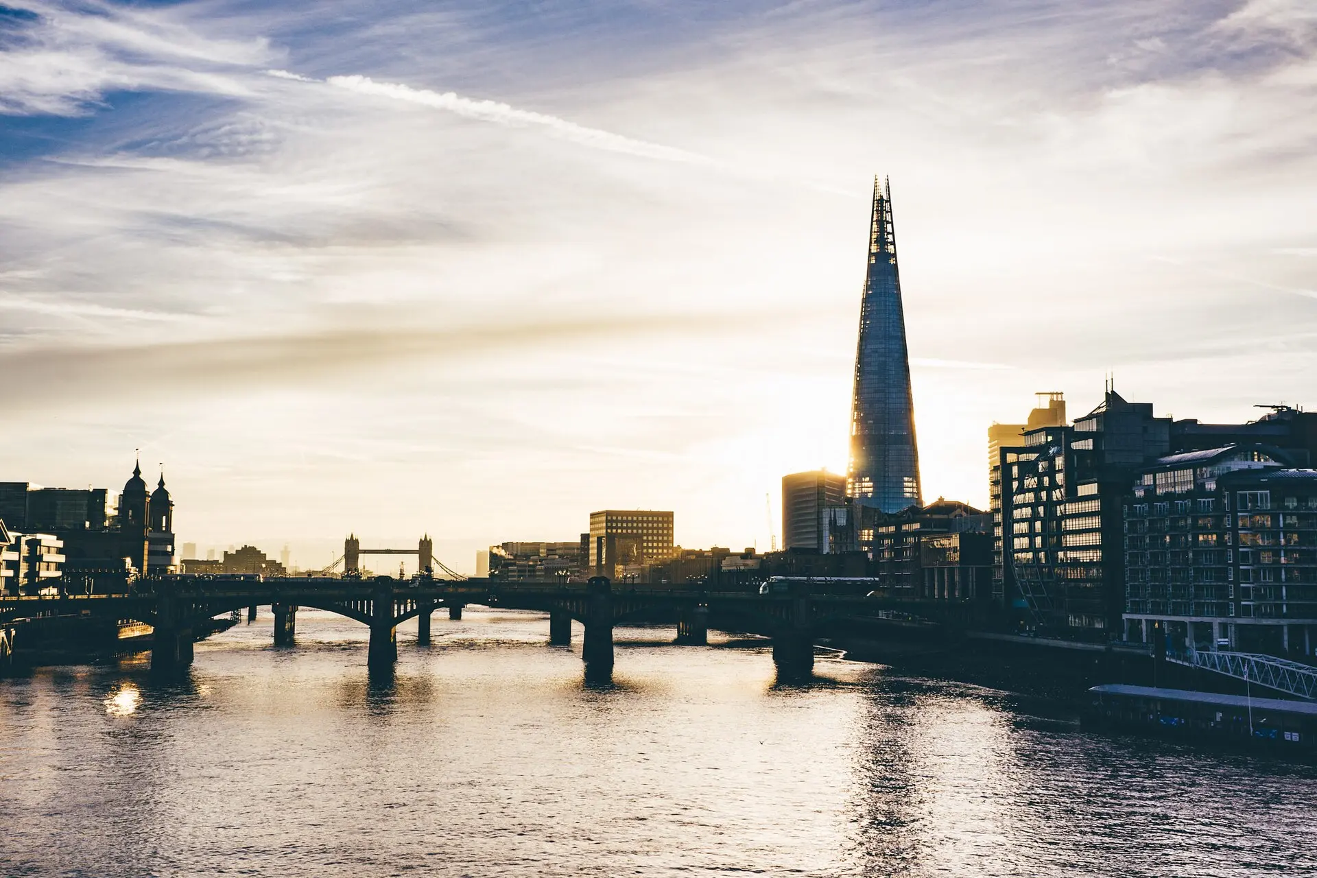
London is in for one last taste of summer today, with temperatures set to climb to a remarkable 27C — the warmest day of this late-September spell and a figure the Met Office describes as “fairly unseasonable for many”.
Warm air pushing up from Europe will send the mercury soaring across the capital, well above what anyone expects as September draws to a close. Forecasters say the heat will feel notably out of place for the time of year — so if you stepped out this morning in a jacket, you may regret it by lunchtime.
But don’t get too comfortable. The Met Office warns this is a brief encore, not a comeback: wet and windy weather is already lining up to sweep the warmth away.
Key facts: today’s scorcher
Today’s high: 27C in London — the warmest spot in the country.
Why so warm: warmer air arriving from Europe.
Tonight: minimum of 19C in places — “notable for the time of year” and potentially uncomfortable for sleeping.
Wednesday: “fairly wet and blustery”, up to 10mm of rain, gusts over 50mph possible.
Weekend: more settled as higher pressure builds.
What it means for Londoners today
Make the most of it — this is likely the last genuinely hot day of the year. Parks across the capital will be packed by mid-afternoon, and the South Bank, Primrose Hill and Hampstead Heath are all set for a final September sunbathing session.
Commuters should brace for a stuffy ride home. The Tube runs hot at the best of times, and with 27C outside, deep-level lines will feel more like saunas during the evening rush. Carry water, and if you can, travel slightly earlier or later to dodge the worst of the crush.
Tonight could be the tricky part. With the temperature only dipping to around 19C, bedrooms will stay warm long after dark — the Met Office says an overnight low like that “could feel a touch uncomfortable for some, particularly as we’re in late September.” Keep a window cracked if you can.
How rare is 27C in late September?
Very. September days in London typically top out around 19-20C, so 27C is a good seven or eight degrees above the norm. It caps an extraordinary year: summer 2026 has been declared the hottest since records began in 1884, with temperatures of 30C or more recorded on 40 separate days — smashing the previous record of 34 days set in 1995.
The UK has already endured five separate heatwaves this year. Today’s warmth is the tail end of that remarkable run rather than the start of anything new — one last blast before autumn properly takes hold. With the clocks going back next month and sunsets sliding before 5pm, the long bright evenings are nearly done.
Then comes the rain
The change arrives fast. By this evening, rain will start pushing into western areas, with some western hillsides seeing 20 to 30mm. Wednesday turns “fairly wet and blustery” nationwide, with up to 10mm of rain in places and gusts topping 50mph — plus the chance of “some very large waves for some western coastal areas”.
Thursday and Friday bring “sunshine and showers” and mixed conditions before higher pressure builds over the weekend, settling things down.
The longer-range picture is less cheerful: forecasters warn the UK faces a wetter-than-average autumn, with strong El Niño conditions in the Pacific likely to drive adverse weather across Europe and a heightened flood risk.
So enjoy the 27C while it lasts, London — and dig the umbrella back out for Wednesday. If you’re travelling, check for disruption before you set off, as gusty winds can play havoc with the railways.