


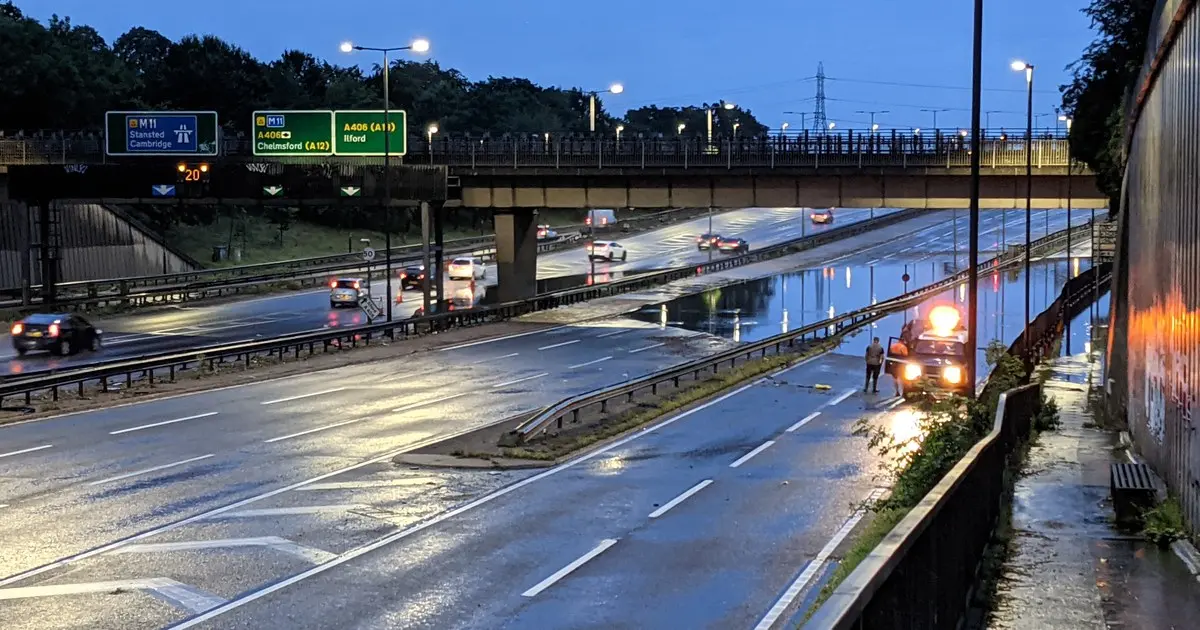
Nearly 320,000 London properties are at high risk of surface water flooding, about one in 13 across the capital, according to fresh analysis of Environment Agency data.
Three boroughs stand out in the figures. In Barking and Dagenham, 26.17 per cent of properties sit in medium or high surface water risk areas, more than one in four, one of the highest proportions in London. Hackney follows at 23.58 per cent, and Haringey at 18.67 per cent. Across London as a whole, around 12.6 per cent of properties fall into medium or high risk areas, and the capital accounts for almost 30 per cent of all properties at high risk across England.
Before anyone panics, one crucial caveat needs to be stated plainly. These percentages describe properties that lie within medium or high risk areas. They are not a prediction that one in four homes in Barking and Dagenham will flood in the next downpour, or that any particular street will flood at all. Risk varies street by street, and depends on the lie of the land, the drains nearby and the building itself. What the figures measure is exposure, not destiny.
Surface water flooding is different from river flooding, and that is part of why the numbers catch people by surprise. It happens when heavy rainfall arrives faster than drains can carry it away, overwhelming roads, pavements and the ground around buildings. Unlike a river bursting its banks, it can strike areas far from the Thames, on streets that have never seemed like flood country.
The three boroughs are covered by the Lee Valley Surface Water Catchment Partnership, which also takes in parts of Barnet, Enfield, Islington, Newham, Tower Hamlets and Waltham Forest. London Councils has chosen the Lee Valley and Central London catchments as initial priorities, citing flood risk, deprivation and opportunities for joint working. That selection does not mean every borough inside those catchments carries higher risk than everywhere else; it means the partnerships are where coordinated action is expected to do the most good.
The Environment Agency is also keen to head off a misreading of the trend. Its estimate has moved largely because data and modelling have improved, not because the underlying risk has suddenly jumped. Better maps reveal more of what was already there, which is cold comfort for anyone in a newly shaded area, but it is not evidence of a sudden deterioration.
Londoners do not need to imagine what surface water flooding looks like. In July 2021, storms hit 24 boroughs, affecting more than 2,000 properties, with hospitals, schools and Underground stations among the places caught out. The pictures from that summer, of roads turned to rivers and cars stranded in standing water, remain the reference point for what a bad day can do.
The capital is vulnerable for reasons that are hard to undo quickly. So much of the ground is built over that rain cannot soak away, and drains and sewers can be overwhelmed when intense rain falls in a short burst. Much of London sits on clay soils, which absorb water slowly at the best of times and barely at all once saturated. The Greater London Authority has warned that streets can turn into streams fast in these conditions, and basement properties are especially exposed when water finds its way in at ground level.
The figures come from a 2026 property flood-risk analysis based on Environment Agency data, read alongside the Greater London Authority’s London Surface Water Strategy, published in May 2025. Together they sketch a city where flood risk is no longer a riverside problem alone, but a feature of the built environment itself.
Other boroughs are already experimenting with ways to blunt the risk. Redbridge, for example, has expanded underground “sponge” defences in an £11m fight against flooding, storing water below ground so it does not pool above it. It is the kind of engineering that may become more common as the maps improve and the areas at risk become clearer.
For residents, the practical message is less dramatic than the headline numbers, but worth hearing. Check whether your property sits in a risk area, know how water behaves on your street, and remember that the last citywide test of the system, during Storm Austen’s disruption, showed how quickly roads and travel can be affected when weather turns. The risk is real, it is widespread, and it is not evenly spread. What it is not, is a forecast that your home will flood next time it rains.